Ifrane and Lake Dayat Aoua: sleeping in Morocco's little Switzerland
Red roofs, cedars as far as the eye can see, lakes and snow: Ifrane looks like nowhere else in Morocco, and that is exactly why people go. Some fifteen kilometres north, Lake Dayat Aoua adds the silence. Here is what to know before a night in the Middle Atlas.
Why is Ifrane called the little Switzerland?
Ifrane is a town and urban commune of the Middle Atlas, set at 1,650 metres of altitude. It is the seat of Ifrane province, in the Fès-Meknès region, and counts 15,553 inhabitants. Its “little Switzerland” nickname comes from its climate and from its snowy, mountainous landscapes.
The name itself is Amazigh: “ifran” means hiding places or caves, the plural of “ifri”. The region is indeed known for its natural caves carved into the Jurassic carbonate layer. The modern town was conceived under the protectorate as a hill station, a cool place where European families could escape the summer heat of the interior plains — hence its chalets, its curving tree-lined streets and its air of somewhere else.
What is the weather like in Ifrane?
The climate is humid and continental, coded Dsa in the Köppen classification. Over the 1991-2020 period, annual rainfall reaches 961.4 mm and the annual mean temperature 12.5 °C. In winter it snows heavily on the town, and the possible frost period stretches, in record terms, from October to June.
One figure stands out: Ifrane officially holds the cold record for the African continent, at −23.9 °C on 11 February 1935. Pack a proper fleece, even between seasons.
What is there around Lake Dayat Aoua?
The lake lies about fifteen kilometres north of Ifrane, in a setting described as calm and picturesque. It appears under several spellings depending on the source — Dayat Aoua, Dait Aoua, Dayet Aoua — and is one of the sites of Ifrane National Park, along with Dait Hachlaf, Dait Ifrah, Afourgah, the Tizguite park, the Val d’Ifrane and the Vittel springs.
Ifrane National Park, created in 2004, holds the largest cedar forest in the world. Those trees cover the slopes of the Middle Atlas in a cloak of green, and the town itself is enclosed within the park to protect the quality of its air. Beyond the Atlas cedar, the park also holds holm oak, zen oak, mountain maritime pine and Spanish juniper. On the trails you may meet the Barbary macaque, an endangered species living in the wild in the forests of the Middle Atlas, and, more discreetly, the Barbary deer.
The lake is not alone: the province also lines up Daïat Ifrah, Daïat Hachlaf and Afennourir, the Sidi Mimoun water body 22 km from Ifrane, and the Amghass one 26 km from Azrou, both laid out for trout and salmon anglers. More broadly, the Middle Atlas is the country’s natural water tower: the Moulouya, the Sebou, the Bou Regreg and the Oum Er-Rbia all rise there.
How do you reach Ifrane?
By road, from the imperial cities to the north. The driving distances published by the Moroccan National Tourism Office give a clear picture.
| From | Distance | Driving time |
|---|---|---|
| Meknes | 63.8 km | 1 h 09 |
| Fez | 70.0 km | 1 h 13 |
| Rabat | 207.8 km | 2 h 33 |
Ifrane province covers 3,573 km² and counts two municipalities, Ifrane and Azrou, plus five caïdats, among them Dait Aoua.
What is there to do on site?
The five most popular sites listed by the Moroccan National Tourism Office are Lake Aoua, Al Akhawayn University, the Ain Vitel river, the Michlifen ski resort and Ifrane’s lion. The university, which opened in 1995, helped re-launch the town as a domestic tourism destination.
In town, a small train tours the streets, and regional crafts reveal themselves workshop by workshop: upholsterers, mat makers weaving rush stems, pottery and thuya wood shops. Ifrane’s lion, carved in the spring of 1930 out of a rock seven metres long, remains the obligatory photograph.
The architecture tells the story of the original project: chalet-style houses on curving streets named after plants, with buildings allowed to cover only two fifths of each plot, the rest to be planted as a garden. The church, consecrated in 1939, is the work of Paul Tournon, a Prix de Rome laureate who also designed the Sacré-Cœur church in Casablanca. A royal palace was built for Sultan Mohammed V.
On the plate, the region is renowned for its apples, including the Azrou variety, as well as its cherries and prunes; the Timahdite lamb comes from local farming. The most typical local dish is harbel, a cracked-wheat soup with milk. Four kilometres from Azrou, the Ain Aghbale fish farm raises sturgeon and sixteen species of trout.
Where can you stay between Ifrane and Dayat Aoua?
Our two addresses in the area are at the bottom of this page, with a link to talk them over on WhatsApp. To pick your region first, go through the six regions we cover. And if you would rather have a lower, wetter mountain, our Akchour guide takes you into the Rif, at the foot of the falls.
Frequently asked questions
Why is Ifrane called Morocco's little Switzerland?
Because of its climate and its snowy, mountainous landscapes, which bring Switzerland to mind. The town is perched at 1,650 metres of altitude in the Middle Atlas, and the nickname stuck.
Is Ifrane really cold?
The annual mean temperature is 12.5 °C over the 1991-2020 period, with 961.4 mm of annual rainfall. Ifrane also holds the cold record for the African continent, at −23.9 °C on 11 February 1935.
Where is Lake Dayat Aoua?
About fifteen kilometres north of Ifrane, in a setting described as calm and picturesque. The lake is one of the sites of Ifrane National Park, alongside Dait Hachlaf, Dait Ifrah and the Val d'Ifrane.
How do you get to Ifrane?
By road. The Moroccan National Tourism Office counts 63.8 kilometres from Meknes (1 h 09), 70.0 kilometres from Fez (1 h 13) and 207.8 kilometres from Rabat (2 h 33).
Stays from this guide
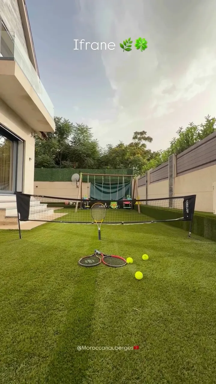
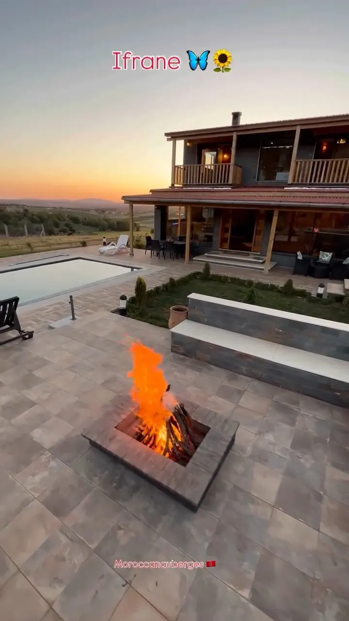
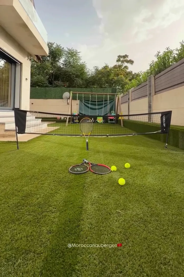
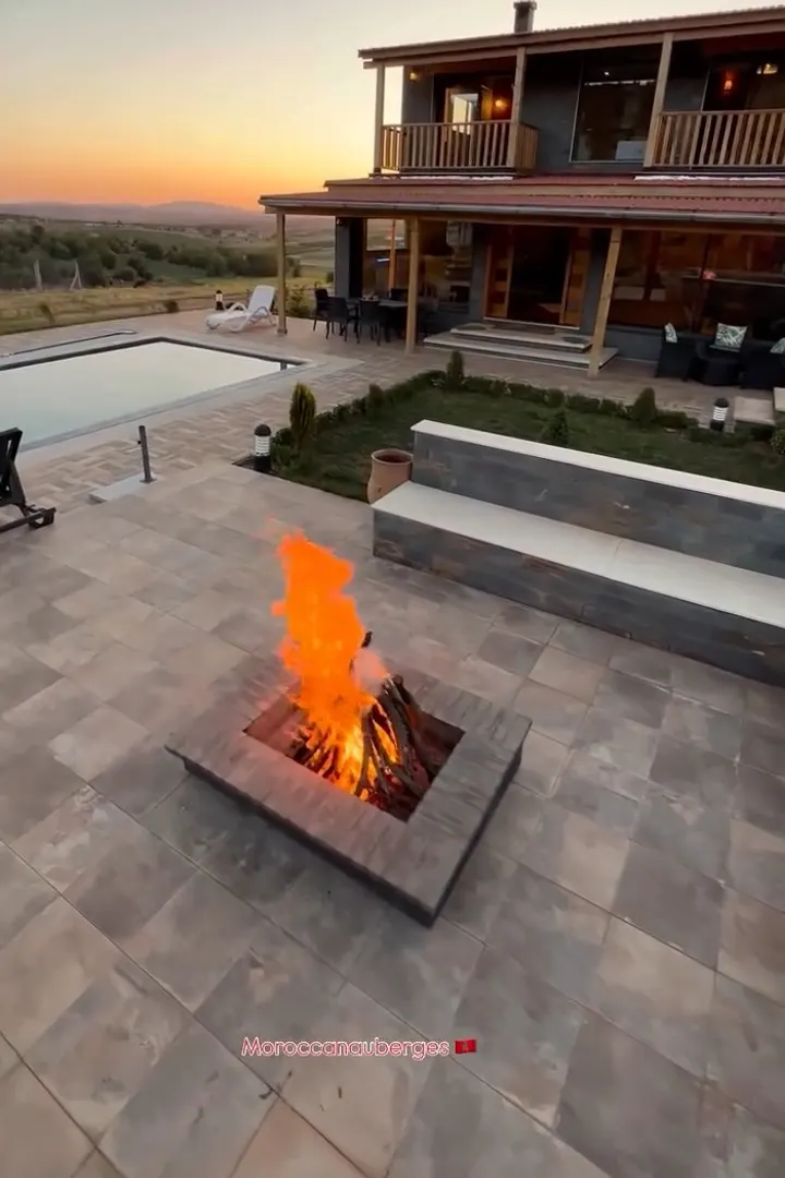
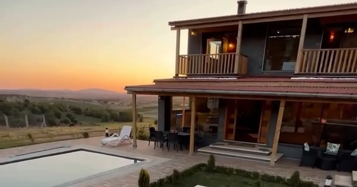
Le Cocon d’Ifrane · Villa 76